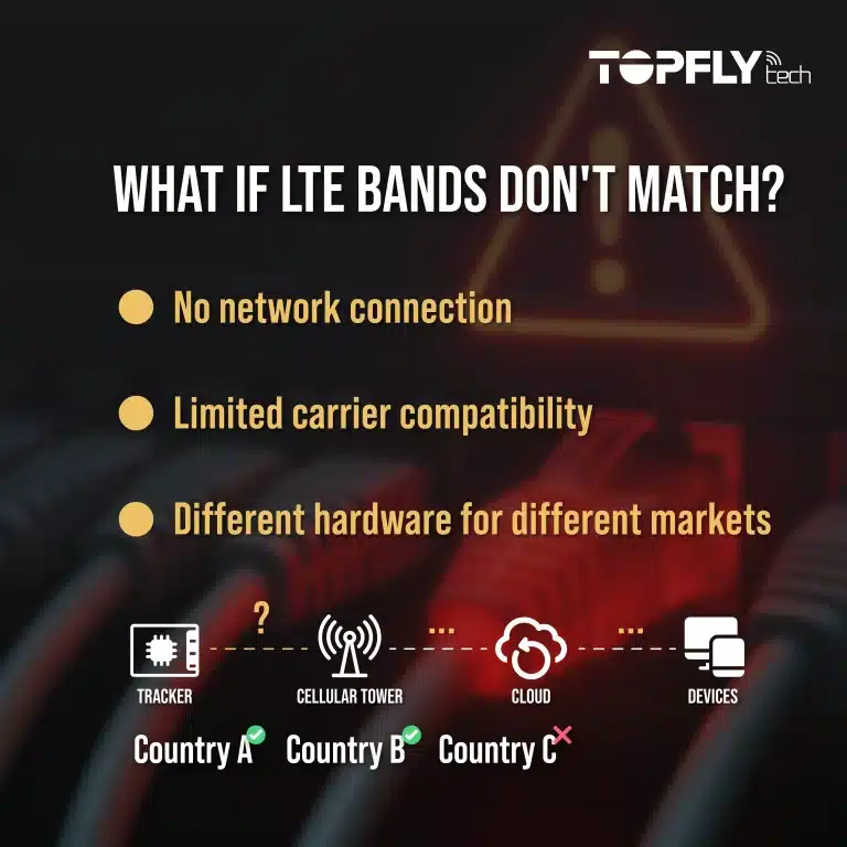
When buyers compare tracking technologies, they often ask the wrong question first. They ask which one is more accurate: LBS or GPS. That sounds reasonable, but in real deployments, positioning is not a beauty contest between two isolated technologies. It is a decision about what kind of location data the operation actually needs, in what environment, under what power constraints.
That is why the more useful question is not “Which is better?” but “What role should GPS and LBS each play in this tracking workflow?” Once the environment changes — indoors, underground, inside dense urban blocks, or across mixed movement patterns — the answer becomes much more practical.
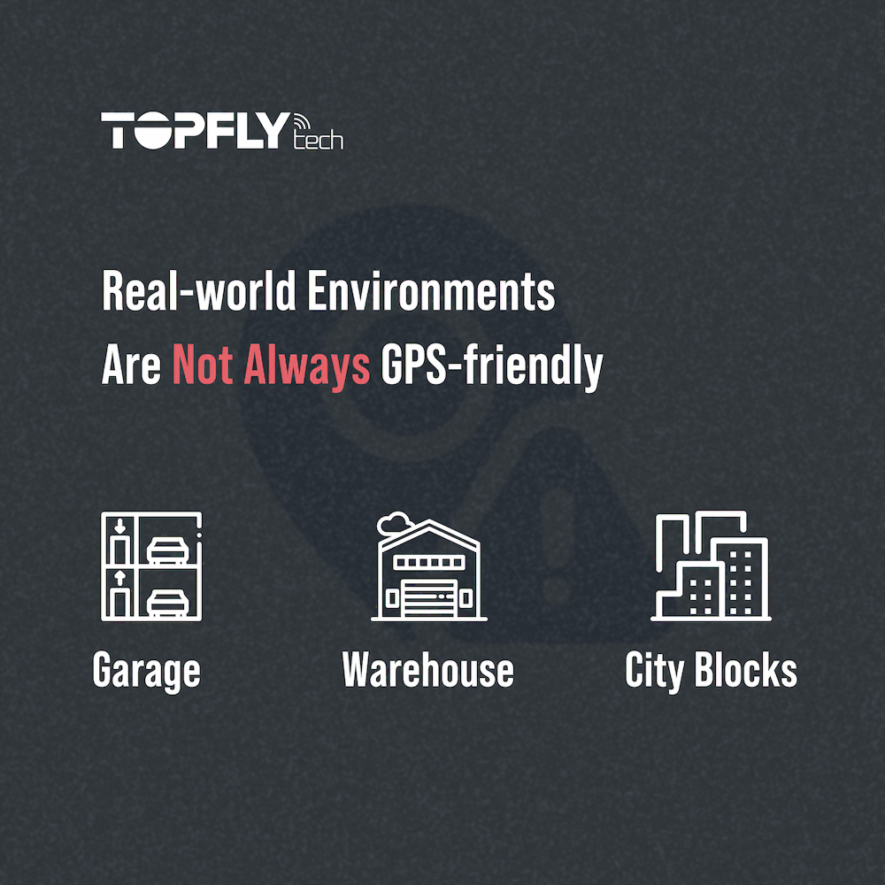
Why GPS Still Matters — and Where It Starts to Struggle
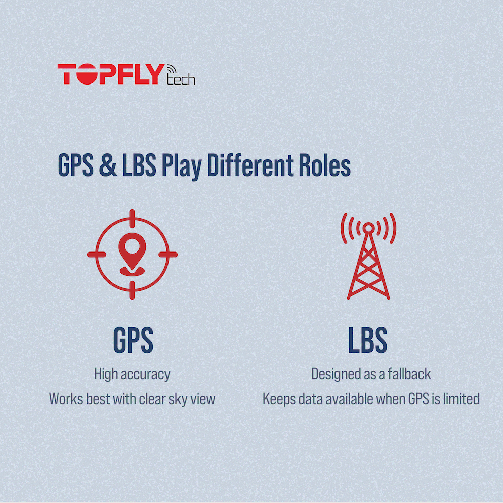
GPS remains the default reference point because it is the strongest option for open-sky positioning and moving vehicles in normal outdoor conditions. If the use case is route history, open-road tracking, or general outdoor fleet visibility, GPS is often the right primary layer.
But its limitations are just as important:
- indoor and semi-indoor environments weaken satellite visibility,
- parking garages, tunnels, and dense urban areas create signal obstruction and reflection,
- containers, warehouses, and metal-heavy surroundings reduce consistent satellite performance,
- battery-sensitive devices cannot always keep GPS active often enough to preserve continuity economically.
So GPS is not the wrong technology. It is simply not complete enough for every tracking condition on its own.
What LBS Actually Solves
LBS positioning works differently. Instead of relying on satellite visibility, it estimates location through cellular infrastructure and, in some deployments, nearby network signals. That usually makes it less precise than GPS in ideal outdoor conditions — but far more useful when the environment blocks or weakens satellite access.
Its practical strengths are clear:
- faster location acquisition,
- lower power burden in many device categories,
- better continuity when GPS is weak or absent,
- more usable fallback behavior in mixed indoor/outdoor workflows.
The trade-off is equally clear: LBS is usually better at answering “where roughly?” than “where exactly?” That is why it should be judged by operational usefulness, not by whether it can imitate GPS precision.
If you want the WiFi-based side of the same continuity problem, WiFi Positioning Explained is the natural companion article.
LBS vs GPS Is Usually a Use-Case Decision
In practice, the right answer depends on what is being tracked and where it spends time.
- Outdoor fleet and route supervision: GPS usually remains the primary positioning layer.
- People tracking, safety devices, and mobile staff visibility: LBS becomes more valuable because movement often crosses indoor/outdoor boundaries and battery efficiency matters more.
- Parcel or lightweight mobile asset workflows: fallback positioning often matters more than continuous GPS-grade precision.
- Mixed-environment deployments: the best design is often a stack, not a single positioning winner.
That is why category fit matters. For example, KnightX 100 and the People Tracking solution path make more sense for mixed-mobility safety use cases, while CyberLabelX 100 and the Parcel Tracking Solution are more relevant when compact logistics visibility is the goal.
What Buyers Should Evaluate Before Choosing
Instead of comparing GPS and LBS in abstract, buyers should usually test four practical questions:
- Where does the asset or person actually spend time? Mostly open sky, mostly mixed environments, or frequently indoors?
- How much precision is operationally necessary? Meter-level route evidence or approximate continuity?
- How sensitive is the device to power consumption? Frequent GPS fixes may not be realistic in a long-life battery design.
- Does the workflow need a fallback stack? In many deployments, reliability comes from combining methods rather than overcommitting to one.
This is where positioning decisions stop being technical trivia and become deployment design.
The Practical Takeaway
GPS and LBS do not compete for the same role in every project. GPS is usually the primary answer for open-sky precision. LBS is often the continuity answer when the environment or device constraints make GPS incomplete. The better the buyer understands the workflow, the easier it becomes to assign each technology the job it actually does well.
That is why the smartest tracking systems are not necessarily the ones with the single “best” signal. They are the ones designed to stay usable when conditions stop being ideal.
Next Step for Teams Comparing Positioning Strategies
If your use case includes people safety or active staff visibility, review KnightX 100 and the People Tracking solution. If the challenge is parcel movement through hubs and buildings, start with CyberLabelX 100 and the Parcel Tracking Solution. And if you want help choosing the right positioning stack for your environment, contact TOPFLYtech for a use-case-specific recommendation.